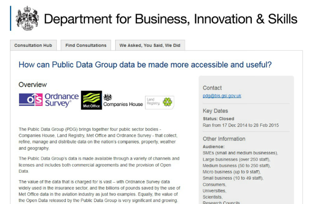
The Public Data Group (PDG) brings together 4 government trading funds - Companies House, Land Registry, Met Office and Ordnance Survey - with significant and nationally important datasets.
This is overseen by the Shareholder Executive (ShEx) team within BIS.
The task
In July 2014, ShEx approached BIS digital about an informal consultation to:
- map and better understand existing use of PDG data
- assess the perception of PDG licences in the developer community
- identify areas where licences can be either better communicated or adjusted to increase use
- identify areas where formatting or communication could be improved
How we went about it
We recognised that this would be a predominantly digital audience, interested potentially in all forms of open data, so took the time to plan a digital campaign. We trained the policy official in the use of Citizen Space, our online consultation tool, so that he had the power to build and control the survey, as well as interrogate the data throughout the process.
We wanted to map responses to the survey geographically, so this was an opportunity to work closer with Ordnance Survey and use public data in the consultation process. With that in mind, policy colleagues commissioned an interactive map from Ordnance Survey that would be populated with survey results as results came in.
What worked well?
We received 143 responses from a varied range of individuals and businesses. Success was predicted to be 100 responses.
There were 734 clicks on the bit.ly link to this content (https://bitly.com/PDGsurvey+). After a month of promoting the survey, BIS digital identified that there had been fewer responses about Met Office data than any other group, so used Traackr to identify some major influencers in the world of weather. BIS digital then approached these influencers, who shared the survey. The survey saw a surge in responses related to weather data and there was a significant spike in clicks on the bit.ly link (8% of total) around this time.
What worked less well?
A phased approach was taken for the communications which took on 6 stages, in order to build communications steadily. Phase one of the plan was to share the survey with our major stakeholders. This was necessary in order to populate the map, so that we wouldn’t be promoting an empty map. We wanted to show people how their information would be displayed when they filled in the survey. So this part of the phased approach was necessary. However, because of the drawn out nature of the process, there was less ‘buzz’ around the consultation, so it didn’t draw much attention.
We extended the survey to incorporate #opendataday, when Ordnance Survey were making several news announcements about open data. We promoted the survey via Twitter during the day, but unfortunately this didn’t yield any extra responses.
Impact on policy
The survey represented the first attempt to build up an evidence base of how businesses were using data across the PDG group and has therefore been extremely helpful in providing some more analytical rigour to generally theoretical arguments around open data.
The data was used to inform a workshop bringing together PDG members, TNA, CO, ODI and small businesses to discuss if the results seemed realistic and what could be done to improve access to PDG data.
The results of the survey as well the changes to policy resulting from the response will be set out in a document published later in March.
Digital team takeaway
This was a really good collaboration with all 4 members of the PDG group. They were really central in communicating the need for this data to their customers and shows that we can work in a more co-ordinated way.
Using the map was a really useful way to display responses and made the consultation very eye catching when it was shared with different communities online. It was also really interesting to see the responses in a more open way – especially from the 16 year old in Weymouth who uses Met Office open data for his own website! Stories like this really brought the consultation to life and when we run another consultation exercise like this we will use this type of story to expand the reach of the consultation.
Stay up-to-date by signing up for email alerts from this blog.